

Area wild fire threat
 |
|---|
| Santa Ana Threat |
Today's Fire Danger
Using current conditions and weather patterns over the last 52 days
Fire danger is calculated at Solar Noon each dayForecast is for time of highest risk, usually mid-late afternoon
 |
LOW FIRE DANGER IS FORECAST Fuels do not ignite readily from small firebrands although a more intense heat source, such as lightning, may start fires in duff or punky wood. Fires in open cured grasslands may burn freely a few hours after rain, but woods fires spread slowly by creeping or smoldering, and burn in irregular fingers. There is little danger of spotting. FWI Details FIRE BEHAVIOUR: Fire Weather Index ... LOW (3) Initial Spread .......... LOW (2) Build Up Index ........ LOW (12) FUELS MOISTURE: LAST RAIN ............ 1 Days (4/15/2024) Fine Fuel Moisture .. MODERATE (85) Duff Moisture ......... LOW (7) Drought ................ MODERATE (151) |
Current Chandler Burn Index
Based on current temperature and humidity
|
CURRENT FIRE RISK IS LOW Fuels do not ignite readily from small firebrands although a more intense heat source, such as lightning, may start fires in duff or punky wood. Fires in open cured grasslands may burn freely a few hours after rain, but woods fires spread slowly by creeping or smoldering, and burn in irregular fingers. There is little danger of spotting. Image shows current CBI Fire Danger, Current Temp, Humidity, CBI rating, CBI spread component and intensity component. |
National Fire Risk Assessment. | |

|

|
Drought/Rain
| Element | Value | Description |
|---|---|---|
| Drought (FWI) | 151 | Drought: Moderate |
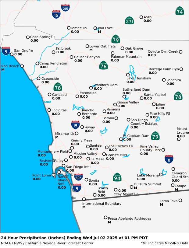
| Rain Today | 0.00 | |
| Rain Month | 0.38 | |
| Rain Year | 11.80 | Since January 1 |
| Rain Last Year | 13.64 | To date last year |
| Days No Rain | 1 | Days |
| Record No Rain | 68 | Days (Station records 2004 to Present) |
| Last Rain | 4/15/2024 |